Drone Services in Austin & Central Texas
Visual tools for commercial real estate, hospitality, construction, and development. Every deliverable is captured by FAA-licensed pilots and delivered ready for marketing, planning, or stakeholder communication.
Drone Marketing
For small businesses, commercial real estate, hospitality, and service providers
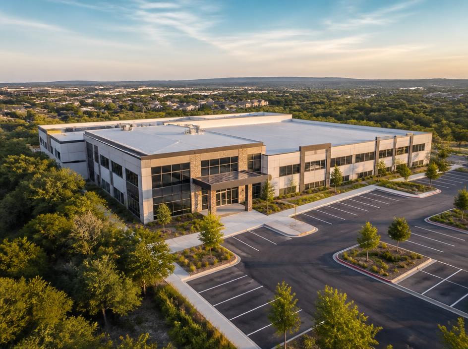
Aerial Photo & Video
High-resolution stills and cinematic footage that show a property's scale, setting, and curb appeal. Ideal for listings, investment decks, websites, and social campaigns.
- Twilight and golden-hour options
- Vertical and oblique angles
- Edited, color-graded deliverables
- Quick turnaround for listings
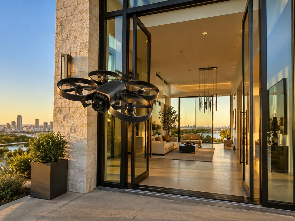
Immersive Drone Property Tours
Immersive drone property tours (FPV fly-throughs) — single-take flights that flow from the street through the grounds and into key spaces. A powerful way to communicate layout, flow, and atmosphere.
- Interior and exterior flow shots
- Amenity and common-area tours
- Social-first edits
- Custom flight paths for each property
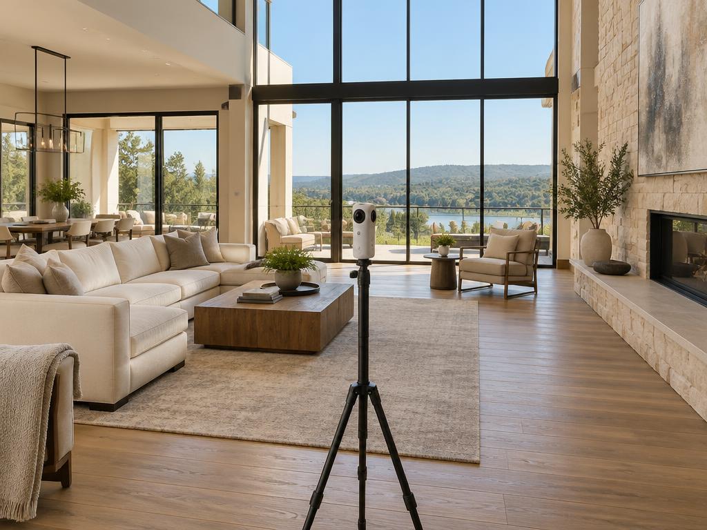

Matterport 3D Tours
Matterport 3D tours let buyers, tenants, and guests walk the property on their own time. We capture every room, amenity, and outdoor space so the tour feels like an in-person visit.
- 3D Real Estate Tours
- Enhanced 3D Vacation Rental Tours
- 3D Commercial Space Tours
- Google Street View Virtual Tours
Commercial Real Estate Media
Full marketing packages for office, retail, industrial, and multi-family properties. We capture the location, access, and surrounding amenities that matter to tenants and buyers.
- Site context and proximity shots
- Parking and access documentation
- Amenity and retail adjacency
- Brokerage and leasing collateral
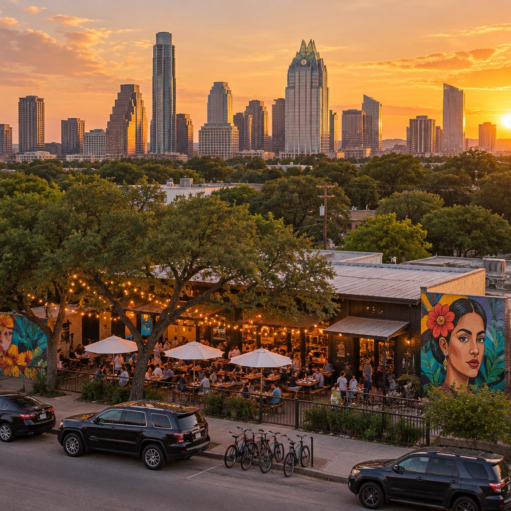
Hospitality Marketing
Restaurants, venues, and vacation rentals look amazing from above. We capture the complete hospitality experience, from beautiful lodgings and scenic grounds to dining and entertainment spaces. Let us elevate your brand with a bird's-eye view that shows guests exactly what makes your destination special.
- Resort and venue overviews
- Guest-amenity highlights
- Nearby attraction context
- Seasonal re-capture packages
Drone Construction & Engineering
For contractors, developers, property owners, and construction teams
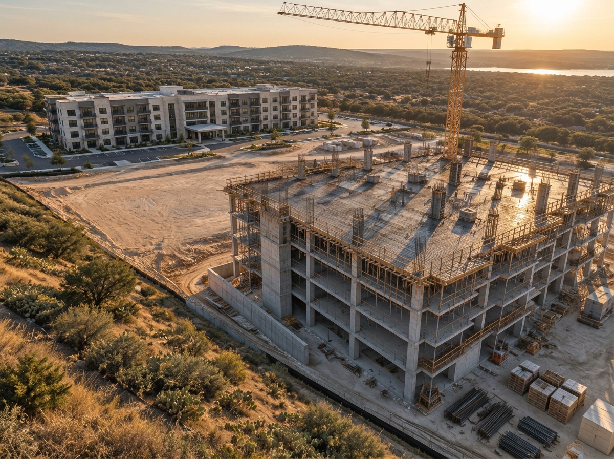
Construction Progress Photography
Recurring drone visits at consistent capture points to create a reliable visual record of your project. Compare phases, track milestones, and share progress with stakeholders.
- Weekly, bi-weekly, or monthly schedules
- Consistent capture points and angles
- Date-stamped image galleries
- Progress comparison galleries
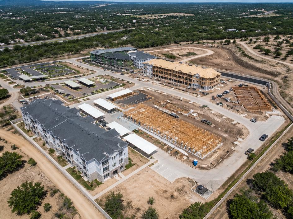
Organized Project Documentation
A structured library of aerial imagery and video tied to each phase of your build. Easy to browse, share, or archive for closeout, warranty, or dispute records.
- Phase-based folder organization
- Shareable gallery links
- Downloadable high-resolution files
- Archive-ready for project closeout
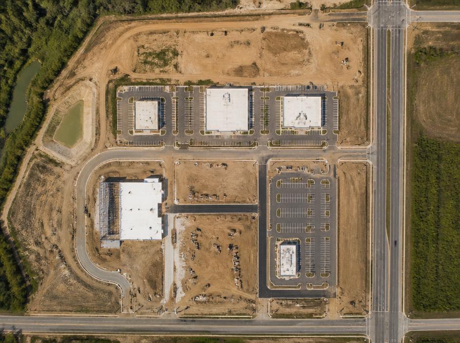
Orthomosaic Site Imagery
Stitched top-down aerial imagery of your site for visual planning, earthwork tracking, and site visibility. Delivered as a clean, high-resolution image for review and presentation.
- High-resolution stitched output
- Repeatable capture for comparison
- Visual planning and layout review
- Stakeholder presentation ready
Coming SoonStakeholder Communication — Coming Soon
Keep owners, investors, lenders, and municipalities aligned with clear aerial views that show exactly where the project stands without needing to visit the site.
- Executive summary images
- Milestone documentation
- Before/after comparisons
- Web-friendly and print-ready formats
Not sure which service fits?
Tell us about your property or project and we will recommend a package that matches your goals and budget.